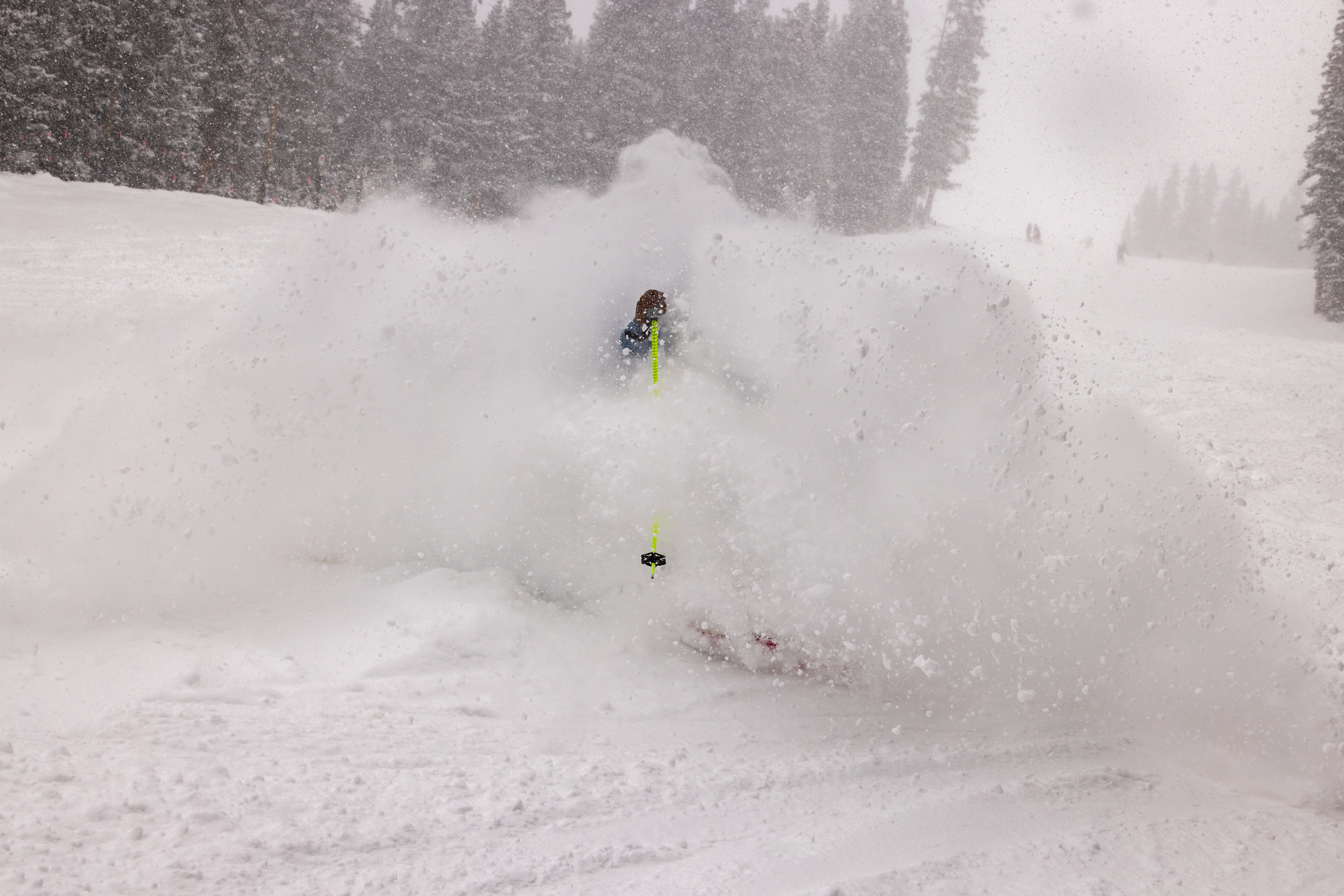
A significant winter storm is sweeping across Colorado right now, dumping heavy snow across the Front Range and creating dangerous travel conditions that will impact both the morning and evening commutes on Wednesday. Denver is expected to see between 4 to 7 inches of snow, with some areas receiving considerably more as this early-season system moves through the state.
The heaviest snowfall is hitting during the worst possible time—between 3 a.m. and 10 a.m. on Wednesday, which lines up directly with the morning commute rush. The Colorado Department of Transportation (CDOT) is urging commuters to allow extra time and drive slowly, as moderate to heavy snow is creating slick conditions across much of the state.
The Storm Timeline and Intensity
Snow began filling in across Colorado's I-25 corridor late Tuesday evening into early Wednesday morning, prompting officials to declare
Wednesday a First Alert Weather Day. A winter weather advisory remains in effect until 6 p.m.
The snow is expected to taper off gradually from north to south between 5 p.m. and 10 p.m., with Denver seeing conditions improve around 5 p.m., while southern Colorado won't clear until closer to 10 p.m.
Regional Snow Totals and Hardest-Hit Areas
Different parts of Colorado are experiencing vastly different snowfall amounts. The
Palmer Divide, especially south of Castle Rock, is on track for
5 to 9 inches, while areas along I-70 are seeing
4 to 8 inches, with about 8 inches expected near the Eisenhower Tunnel and Vail Pass.
Highway 285 is proving particularly messy, with
Conifer expected to be one of the hardest-hit areas at 7 to 10 inches. The mountain passes are seeing even heavier accumulation as upslope winds push moisture into the high country.
Critical Safety Warnings
CDOT has issued an important warning:
freezing ice may be hiding under the light snow cover in some areas, creating an additional hazard for drivers who might not realize how slick conditions truly are. Road clearing crews are deployed across the state, and officials are asking drivers to maintain a safe distance from snowplows and pay close attention to CDOT's alert road signs.
Drivers are also being urged to ensure their vehicles are
winter-ready before heading out, as conditions will remain treacherous throughout the day.
What's Coming Next
This isn't just a one-day event. After Thursday brings a calmer, dry day,
another larger storm system is fast approaching from the northwest, arriving in two waves: Friday into Saturday, then Saturday night into Sunday morning. The northern mountains could see an additional
3 to 16 inches, with amounts close to the 16-inch mark expected around Steamboat in the Park Range.
Friday is shaping up to be a storm-riding day for skiers and snowboarders, while Saturday and Sunday are forecast to be the
powder days as the second wave moves through.
Long-Term Outlook
Looking ahead to next week, Colorado is forecast to be mostly between major snow events from Tuesday through Friday, December 12, as the jet stream keeps storm energy north of the state. However, some light snow is possible Thursday, December 11, and Friday, December 12, in the northern mountains, while the central and southern mountains should stay relatively dry.
Bottom line: If you're commuting in Colorado on Wednesday, plan for significantly longer travel times, reduce your speed, and stay alert for hidden ice beneath the snow cover.
1.
Denver Gazette - 10-20″ of snow forecast in Colorado from multi-day weekend storm2.
CBS News Colorado - Snowstorm in Colorado to impact both the morning and evening commutes on Wednesday3.
CDOT - Early season snow could mean slick roads for Wednesday's Front Range commutes**
Sources
1. 10-20″ of snow forecast in Colorado from multi-day weekend storm
2. Snowstorm in Colorado to impact both the morning and evening commutes on Wednesday
3. Early season snow could mean slick roads for Wednesday’s Front Range commutes
